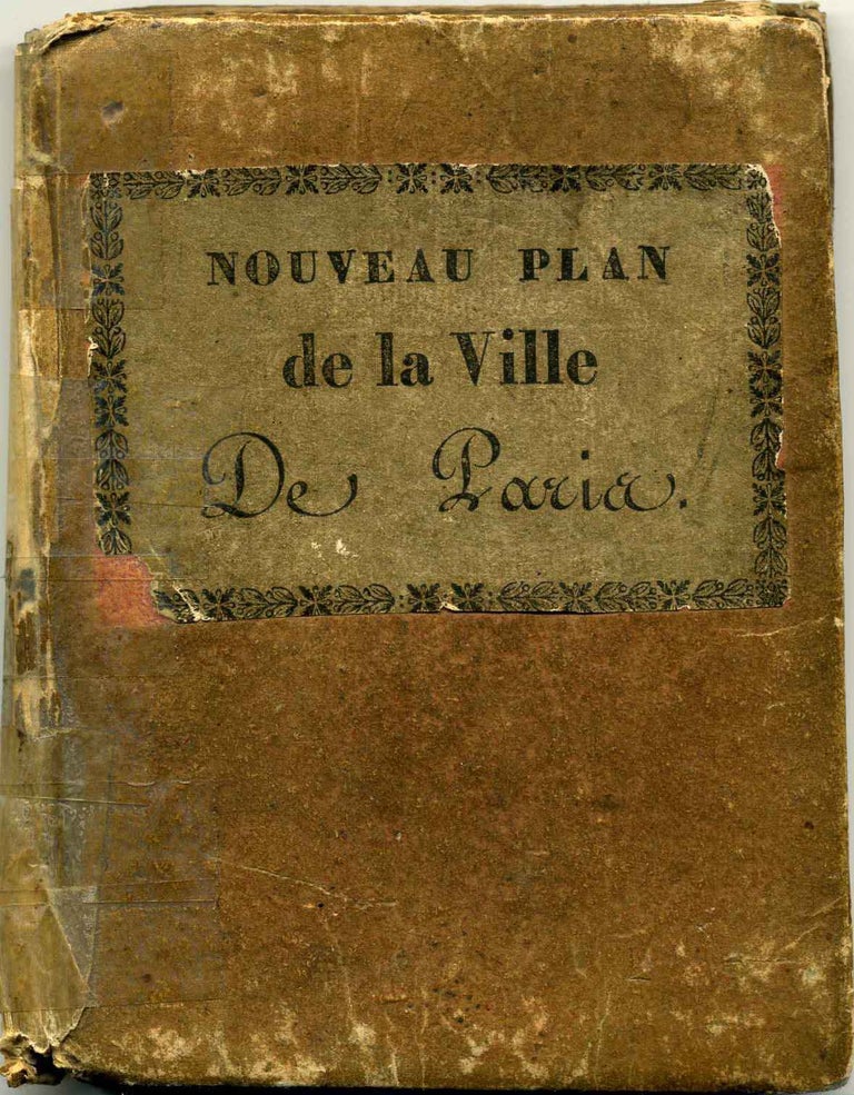
Plan Routier de la Ville de Paris, Divise en douze Arrondissemens
Paris: Terry, 1830. First Edition. Hardcover. 32mo - over 4" - 5" tall. Very good- condition. Item #006122
Pocket map; folding map of Paris. Meaures approximately 17 inches height x 24 width (432mm x 610mm). Original outline hand-color designates districts of the city. Numerous tears at folds, with extensive early archival repairs applied to reverse. An attractive map, bound in the original paper-covered case with printed front cover label; heavily worn and tape repaired.
Price: $500.00
See all items in
Cartography & Maps
See all items by Terry