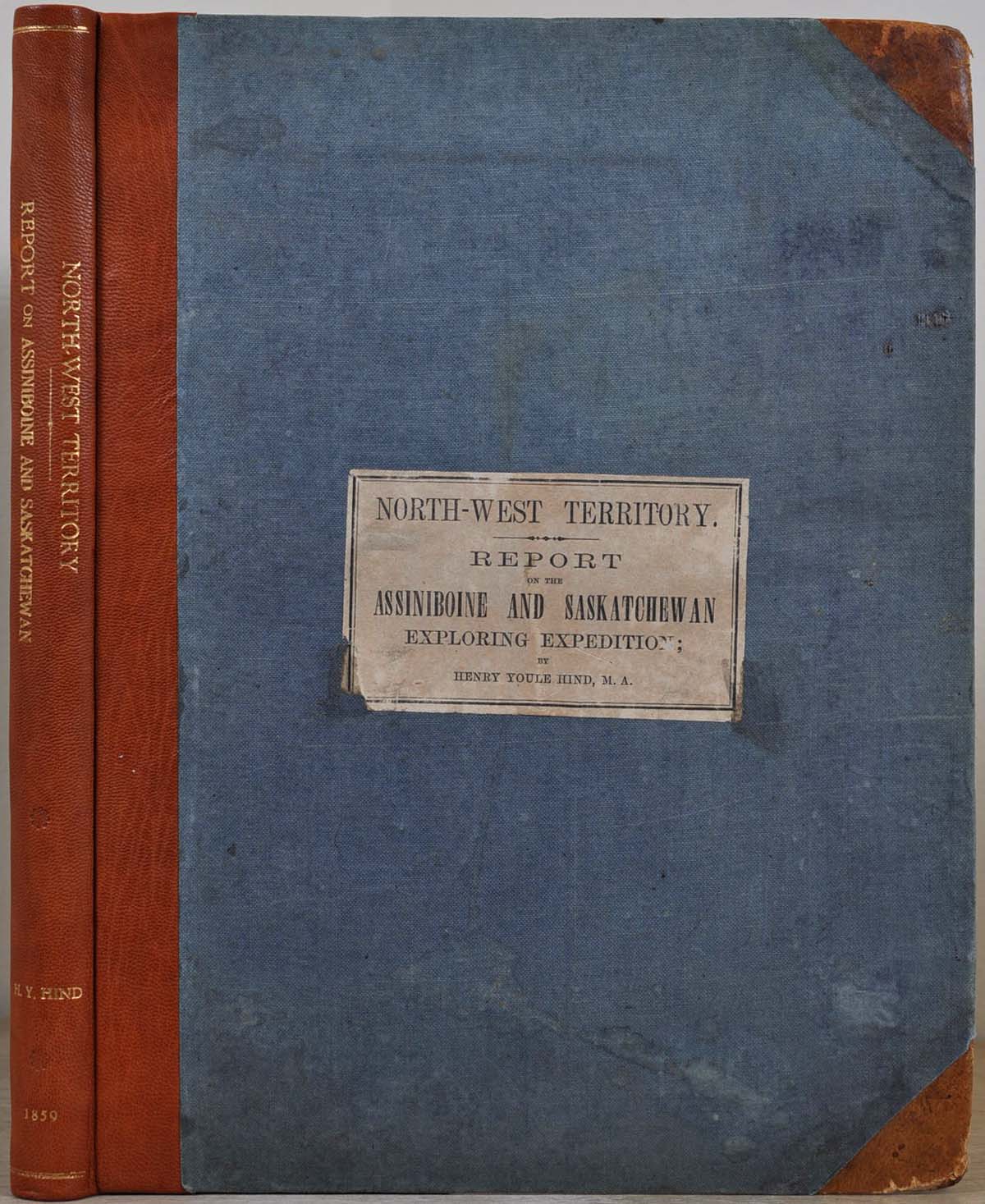
NORTH-WEST TERRITORY. Reports of Progress; Together with a Preliminary and General Report on the Assiniboine and Saskatchewan Exploring Expedition, Made Under Instructions from the Provincial Secretary, Canada. Printed by Order of the Legislative Assembly
Toronto, Ontario: John Lovell, 1859. First Edition. Hardcover. Folio. Very good condition. Item #8208baX2
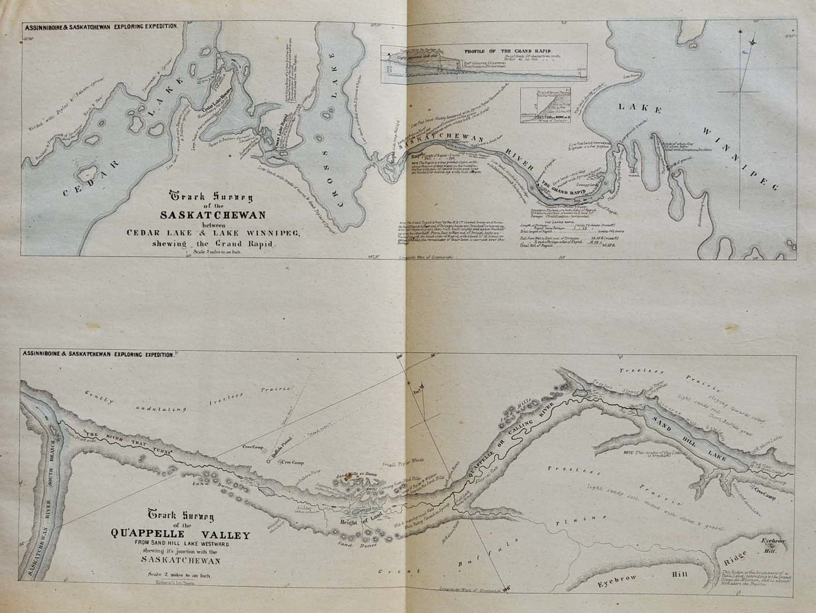
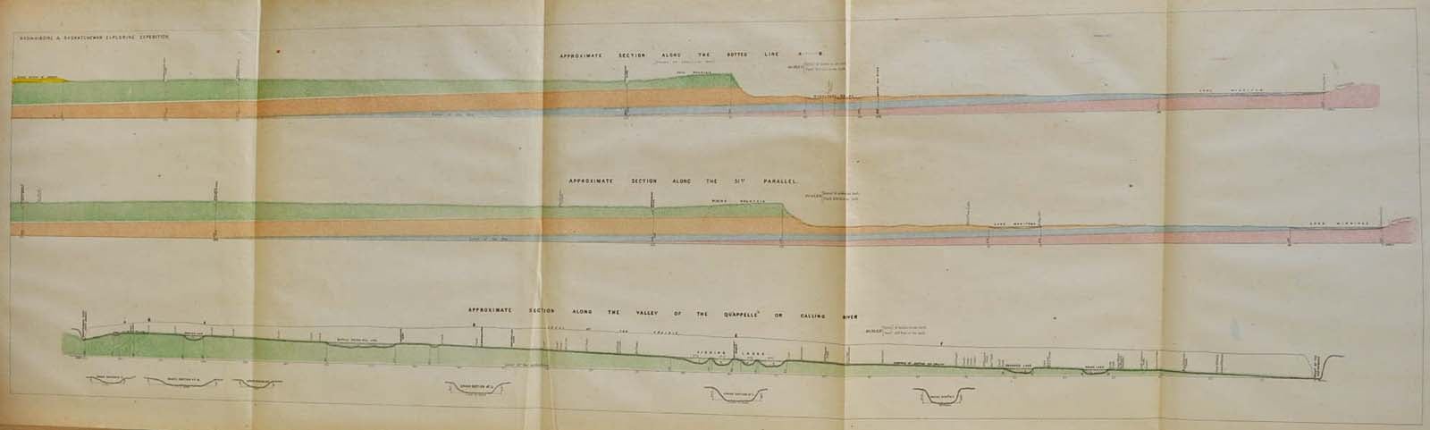
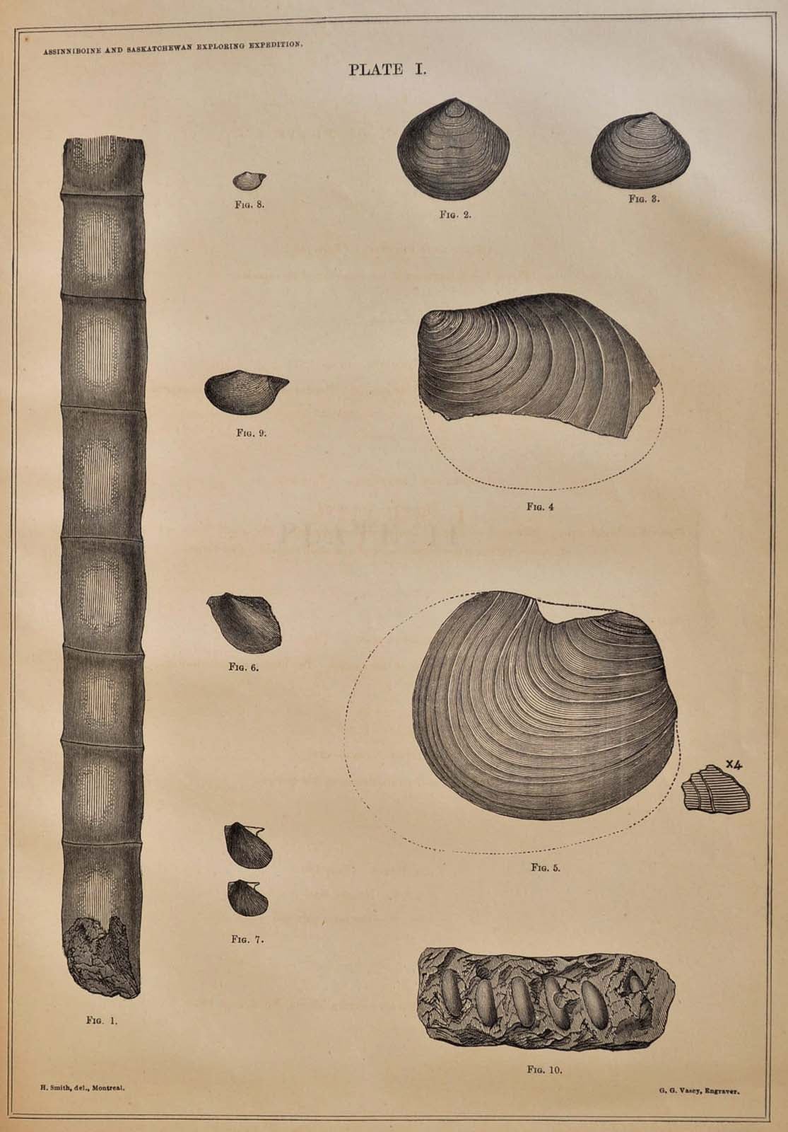
xii, 201 pages. Measures 34cm (height); 13.25 inches by 10.25 inches. Three quarter tan leather rebacking; original gray cloth is moderately soiled and worn, and the original printed paper front cover label is chipped; corners are lightly bumped. Numerous previous owner's embossed stamps and one ink stamp. Contains a folding plate showing numerous cross-sections of riverbeds, a folding plate with two maps showing Track Surveys of the Saskatchewan River and the Qu'Appelle Valley (colored), a folding map titled "Geological Map of a Portion of Rupert's Land by Henry Y. Hind" (hand-colored), a folding plate containing 3 sections, 3 wood-cut plates and 24 wood-cut illustrations. The owner's embossed stamp is on several maps. The four folded maps at the end are titled on the first section only "Map of a Portion of Rupert's Land, Surveyed and Examined by the Assinniboine & Saskatchewan Exploring Expedition in the Year 1858..." One of these maps has tape repair. One other folding map/plate is torn. Manitoba. First edition.
Price: $525.00